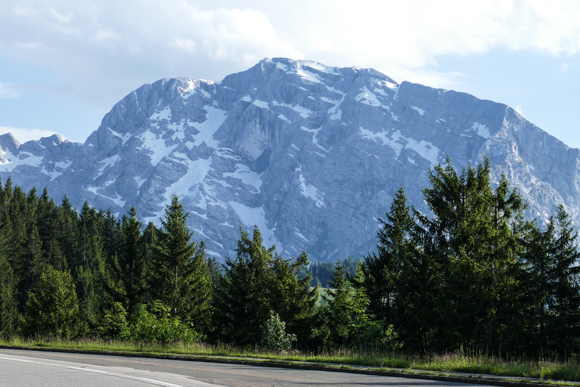
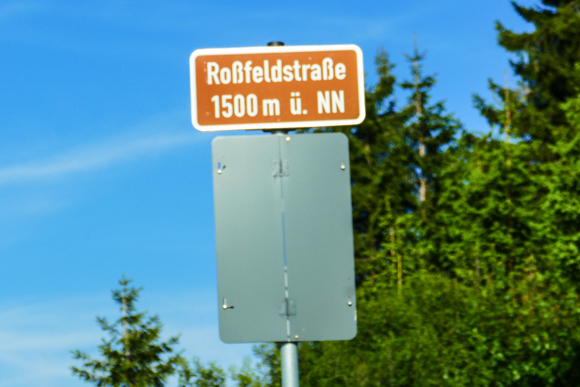
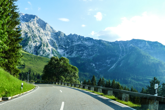
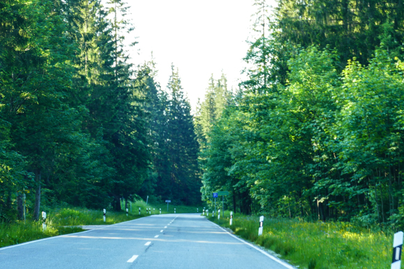
There are just a couple of toll roads in Germany (if you neglect road toll for trucks). One of them is the B999 in very Southeast Germany in the Berchtesgadener Land area, which is typically refered to as Roßfeldpanoramastraße (“Rossfeld Panoramic Route”) or Roßfeldhöhenringstraße (“Rossfeld Mountain Ring Road”). During my stay in the area, I had at least a short evening view of this beautiful road, which even touches Austria for some 1.5 kilometers. With a total length of 15.4 kilometers, it is the longest toll road in Germany as well. I decided to present you this beauty as a Pictured Story with less text and major pictures.
Rossfeld Panoramic Route – History & Location
Together the public B319, the Rossfeld Panoramic Route is a ring road which you can drive in both directions. Its original planning has been done by the Nazis, who started building this project in 1938 in order to create a final highlight of the Deutsche Alpenstraße (German Alpine Road), a recreational route along the Northern part of the German Alps (it is nowadays not included to that route, though). There are numerous memories of the Nazi Germany times around, the most prominent one, Hitler’s former holiday house Berghof at the Obersalzberg, which is located close to the Southern exit of the Rossfeld Route, and the Kehlsteinhaus. The closest city is Berchtesgaden.
Rossfeld Panoramic Route – Toll & Services
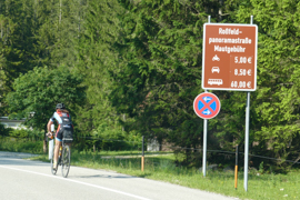
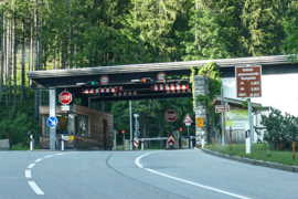
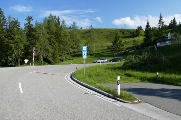
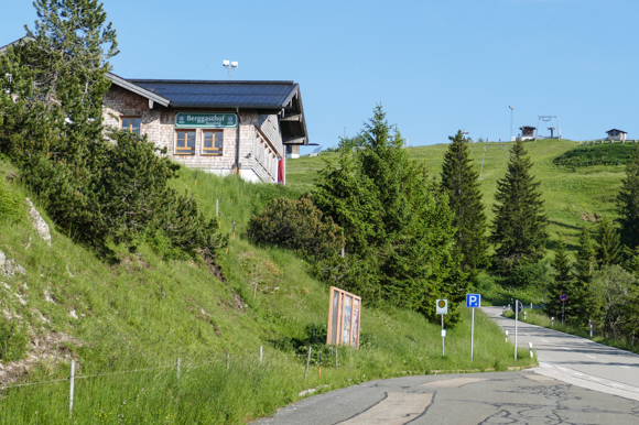
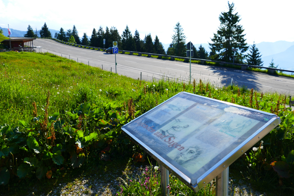
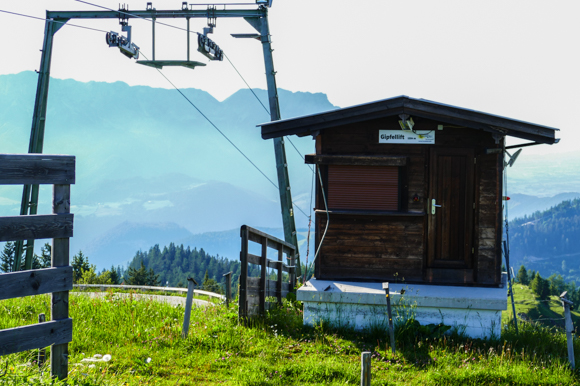
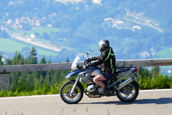
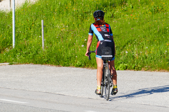
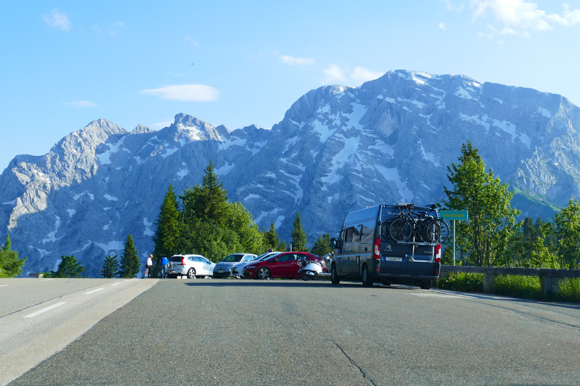
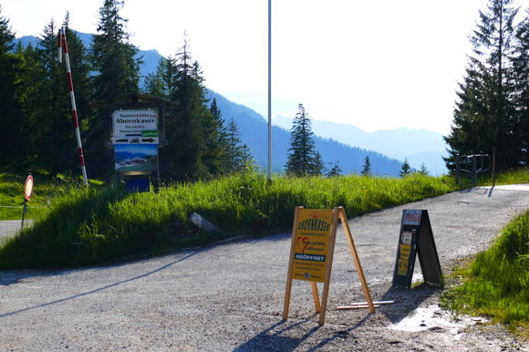
There are toll booths on both ends of the route. The one-way road toll is 8.50 EUR for a car currently (motorbikes: 5 Euro). The route is also very popular among cyclists. There are sets of ten tickets, which you can only buy at the Northern toll booth. All tickets include any passengers.Close to the highest point of the route, there is a restaurant and a snack bar, which also features a public toilet. Most people do not only travel the route by car, but use it for hiking. There are parking lots all around the rote.

Rossfeld Panoramic Route – Impressions
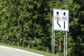
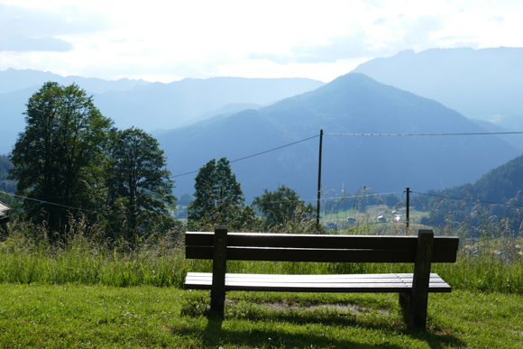
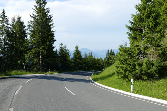
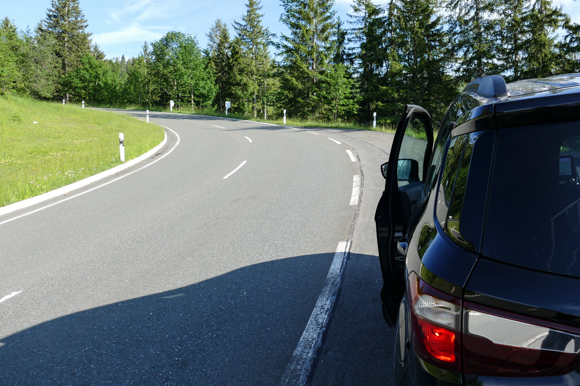
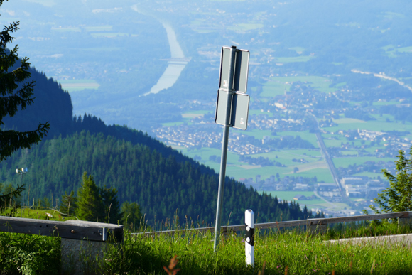
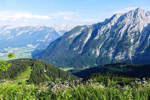
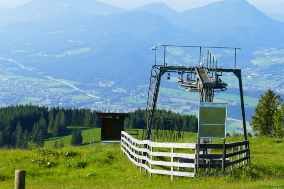
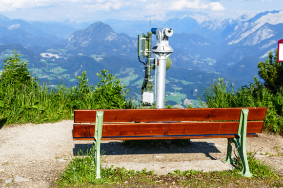
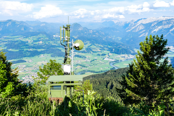
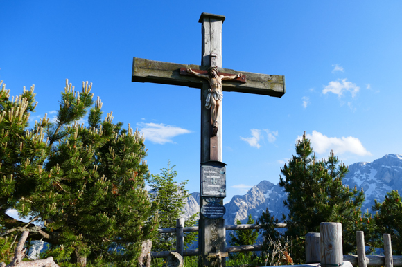
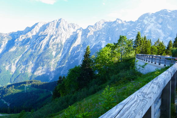
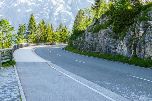
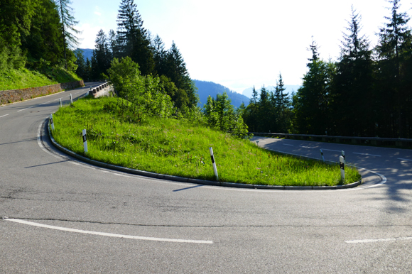
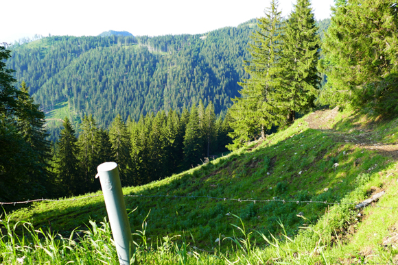
I did the Rossfeld Panoramic Route from North to South (B to A on the map above), which I feel is slightly nicer – majorly, because the Northern uphill part is more fascinating and has some lovely views, before you finally reach the highest point of the route, which is 1570m above sea level. With that, the Rossfeld Panoramic Route is Germany’s highest road, which is not dead end. After you reach the peak of the road (from the North side), you also touch Austrian ground, as mentioned above. Most of the views you have from the several viewpoints are facing towards the Austrian Alps.
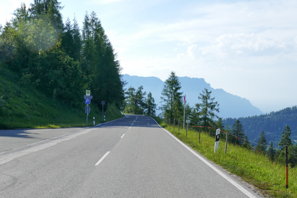
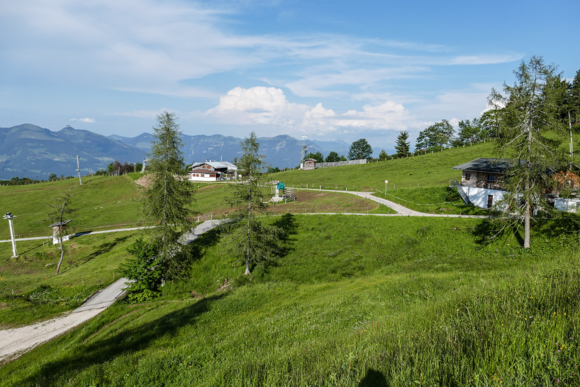
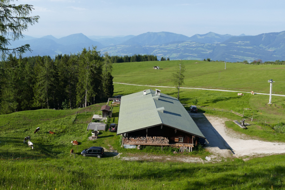
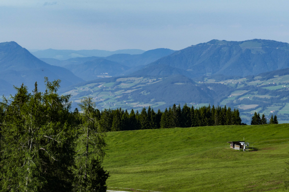
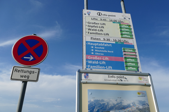
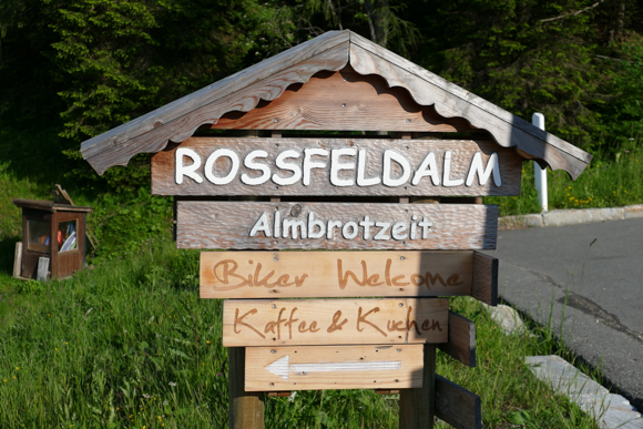
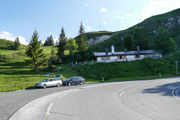
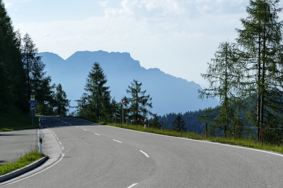
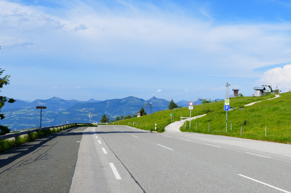
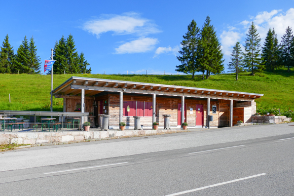
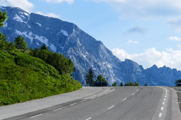
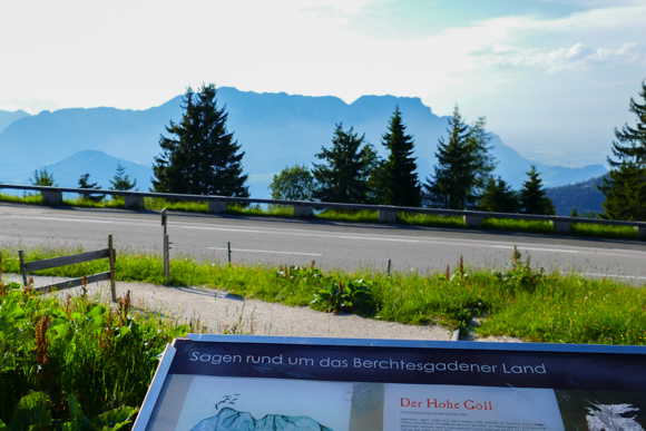
Flyctory in Salzburg & Berchtesgadener Land
All my postings related to the German – Austrian region of Salzburg & Berchtesgadener Land:

Maddy Rose – Sunflowers

Flyctory.com Songs Of The Week (week of 6th December 2024)

Alex Diehl (2nd February 2024, Cologne)

Alex Diehl – Das ist keine Übung

Rock of Ages – 2024 International Dates of the Musical

Flyctory.com Songs Of The Week (week of 04 August 2023)

Flyctory.com Songs Of The Week (week of 02 December 2022)
Hotel Hubertushof (Anif near Salzburg)

Heischneida – Heischneida II

Natural History and Mammoth Museum Siegsdorf

Flyctory.com Songs Of The Week (week of 01 April 2022)
Lokwelt Freilassing

Salzburg Airport (SZG) Business Lounge

Salzburg Airport (SZG)

Alex Diehl – Die Songs, die ich nie schreiben wollte EP

Please Madame – Angry Boys, Angry Girls

Car Rental Review – Hertz Salzburg Airport (SZG) – Mercedes GLE 350d

Claudia Koreck – Perlentaucherin
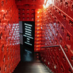
Stiegl-Brauwelt Salzburg – A Brewery Museum
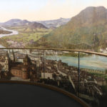
Salzburg Panorama Museum
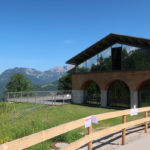
Obersalzberg Documentation Center

Flyctory.com Best Ones 2020

Motel One Salzburg – Mirabell

ALPEN-SYLT Nachtexpress – A New Night Train Crossing Germany
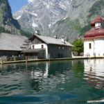
A Boat Trip on the Königssee

Hangar 7 (Salzburg, Austria – Pictured Story)

Avalon Hotel Bad Reichenhall

Taking a (Summer) Taxi Ride on the Königssee Bobsleigh Track
Flyctory.com Pictured Stories
The key contents of Flyctory.com Pictured Stories are the picture, not the text:

Views of Oslo Central Station (Pictured Story)

Faroe Islands Fans at The EHF Euro 2026 in Oslo

Burj Khalifa NYE Fireworks from Hilton Dubai Al Habtoor City

Christmastime at Bellagio Casino (Pictured Story)

Jokulsarlon Glacier lake & Diamond Beach (Pictured Story)
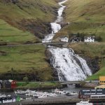
Waterfalls on the Faroe Islands (Pictured Story)

Christmas Afternoon Tea at the Conrad Dubai

NHL Global Fan Tour during the NHL Global Series in Stockholm 2025 (Pictured Story)

Motorworld Mallorca (Pictured Story)
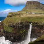
Gasadalur and the Mulafossur Waterfall (Pictured Story)
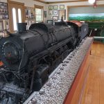
Lynnville TN & Lynnville Railroad Museum
Rock Meets Country 2025 – Atmosphere
Driving the Oyggjarvegur (Route 50) on the Faroe Islands

Franklin (TN) Old Town
Visiting Brighton Palace Pier (Pictured Story)

Sound of Nashville Open Air 2025 (Atmosphere)

Driving over the Coll d’Ordino (Andorra CS-240/-340)

Queen Elizabeth Olympic Park – 13 Years After London 2012

Sanrio World Ginza (Pictured Story)

Looking back to… Weird Al Yankovic at the “Bigger & Weirder Tour” 2025

Looking back to… Puddles Pity Party at the “Bigger & Weirder Tour” 2025

My First Visit(s) at Buc-ee’s (Pictured Story)
Corbin, Kentucky – The World’s First Kentucky Fried Chicken
Walking Through Central Malmö (Pictured Story)
A Trip To Gjogv (Faroe Islands, Pictured Story)
A Day of Exploring Istanbul Public Transport
The Outernet London (Pictured Story)

Mercato Mayfair (London, Pictured Story)

South America at Miniatur Wunderland
Peterborough Cathedral (Pictured Story)
Torshavn Cathedral (Pictured Story)
Exploring the West Coast of Sandoy from Sandur (Faroe Islands)
Exploring The Old Town of Bad Säckingen

Dubrovnik Old Town Impressions (Pictured Story)
Mohammed bin Rashid Library (Pict. Story)
San Diego Japanese Friendship Garden (Pictured Story)
Monaco & Provence at Miniatur Wunderland
Old Town San Diego (Pictured Stories)
Christmas Time Around Grand-Place in Lille

The Kolors (30th November 2024, Mons / Belgium, Pict. Story)

Autostadt Impressions (Wolfsburg)

Munich Airport (MUC) Visitors Tour
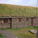
Skansin (Torshavn)
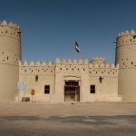
Traveling along the Liwa Forts Oasis Route (U.A.E.)
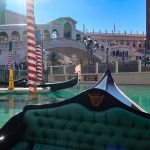
The Venetian Resort Las Vegas with Gondola Ride
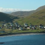
Views of Sandoy Island (Faroe Islands)
Exploring Vienna Prater with the Prater Train (Pictured Story)
Views from the Terrace of Galeries Lafayette
Crossing the Atlantic Ocean in the Sandoyartunnilin (Sandoy Tunnel)

Nintendo Tokyo and Pokemon Center Shibuya (Pictured Story)

“Goldenes Oval” Opening Meeting – Opening Ceremony (Dresden, 30th August 2024)

Holland Park and Japanese Gardens (London, Pictured Story)

Grand Central Terminal New York (Pictured Story)
Torshavn – Old Town and Tinganes (Pictured Story)
Team D Fan Zone at the Paris Olympic Games 2024
Infosys Hall of Fame Open 2024 – Some Impressions

State Hall (Prunksaal) of the Austrian National Library (Pictured Story)

Walking Through Caesars Palace Las Vegas (Pictured Story)
Impressions of Spinola Bay (Malta – Pictured Story)

Faroese National Botanical Garden (Pictured Story)

Vienna Central Cemetery / Wiener Zentralfriedhof (Pictured Story)
Meiji Shrine Tokyo (Pictured Story)

Fremont Street Experience Las Vegas (Pictured Story)

George’s Street Arcade (Dublin, Pictured Story)
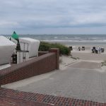
A Walk Through Wangerooge (Pictured Story)
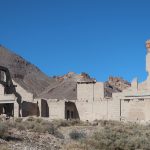
Rhyolite Ghost Town (Nevada) and Goldwell Open Air Museum

Franciscan Monastery Dubrovnik (Pictured Story)
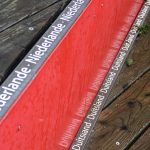
Germany’s Westernmost Point near Selfkant-Isenbruch (Pictured Story)
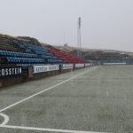
Svangaskard – The Traditional National Stadium of the Faroe Islands
Kansas City Union Station (Pictured Story)

Pokemon Center DX Tokyo (Pictured Story)
A Visit To Kirkjubour (Faroe Islands – Pictured Story)

Las Vegas New Year’s Fireworks 2024 near MGM Grand

Eysturoyartunnilin – The First Sub-Sea Roundabout in the World
Resurrection Cathedral Tirana (Pictured Story)

Impressions of Andorra La Vella (Pictured Story)
A Trip To Saksun (Faroe Islands, Pictured Story)

A Walk Around the Grounds of Wacken
A Short Roadtrip along Northwest Reykjanes

Inverness Cathedral (Pictured Story)
Schnoor – Bremen’s Oldest Borough (Pictured Story)
Hveradalir Geothermal Area (Pictured Story)

The (Vending) Machines of Tokyo (Pictured Story)
The Waterfalls near Seljalandsfoss (Pictured Story)
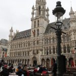
Brussels Grand Square – The Heart of the City (Pictured Story)
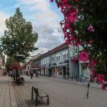
Walking Through Lillehammer City Center (Pictured Story)

Klaksvik and Djupumyra Stadium (Pictured Story)

Nyhavn Copenhagen (Pictured Story)

Wawel Castle Royal Gardens (Krakow – Pictured Story)

Helsinki Old Market Hall (Pictured Story)

Church of Saint Lazarus (Larnaca, Pictured Story)
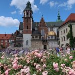
Views of Wawel Royal Castle (Krakow – Pictured Story)

The Gunwharf Quays in Portsmouth (Pictured Story)
Walking through Nicosia (Pictured Story)

The New Bedford (MA) Whaling District (Pictured Story)
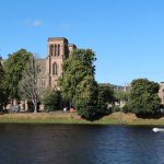
A Walk Through Inverness (Pictured Story)
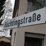
There is a single Büchting Street in Germany – and I take you there

Dyrholaey (Iceland, Pictured Story)

Pasteis de Belem – Home of the Famous Pastry (Pictured Story)
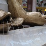
Trafford Palazzo – Posh Shopping in Manchester (Pictured Story)

A Walk Through Valletta Old Town (Pictured Story)

Rock of Ages Opening Night – Red Carpet Impressions

Nice Upgrades to Manchester Airport (MAN) Terminal 2 (Pictured Story)

Big Mac Museum (North Huntingdon PA, Pictured Story)
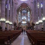
A Look Inside Palma Cathedral (Pictured Story)

Star Wars Galaxy’s Edge at Disney’s Hollywood Studios (Orlando, Pictured Story)
Al Majaz Park & Waterfront Sharjah (Pictured Story)
Hambach Surface Mining – The Largest Man-Made Hole in the World
Leadenhall Market in London (Pictured Story)
ICE 3neo High-Speed Rail First Class (Pictured Story)

Phantasialand Wintertraum on the Evening (Pictured Story)
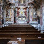
Asam Chruch Munich (Pictured Story)
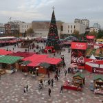
Advent Time at Skanderbeg Square Tirana (Pictured Story)

Carlo’s Bakery Hoboken NJ – The Heart of a Cake Empire (Pictured Story)

Limassol Marina and Harbor (Pictured Story)

Gullfoss – Iceland’s Most Famous Waterfall? (Pictured Story)
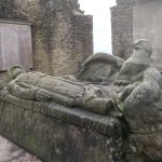
Walking Along Castle Ruin Hohensyburg (Dortmund – Pictured Story)

Sunderland Empire Theatre Guided Tour with Rock of Ages Stage

Nashville Mural Art in the Broadway District (Pictured Story)

Exploring Hamburg with the HADAG Public Ferries – Line 61
Exploring Hamburg with the HADAG Public Ferries – Line 73

Exploring Hamburg with the HADAG Public Ferries – Line 72
Exploring Hamburg with the HADAG Public Ferries – Lines 62 & 64 & Overview

View Over Akureyri from Hlidarfljall
Khorfakkan – Amphitheatre and Waterfall (Pictured Story)

3,337 Waffle Houses Away – A Walk through Paola, Kansas
A (Partial) Trip along F899 (Flateyjardalsvegur – Pictured Story)

Exploring the City Center of Woodstock, NY (Pictured Story)

Helgoland Dune Ferry (“Dünenfähre” – Pictured Story)

UPMC Lemieux Sports Complex (Pictured Story)

Akureyrarkirkja – Akureyri Church
Oodi Helsinki – The Modern Library (Pictured Story)

The Historic District of Streetsville, Ontario (Pictured Story)

A Walk Through Greetsiel in East Frisia (Pictured Story)

Sharjah Central Souq (Pictured Story)
Al Madam Ghost Town (Pictures Story)
Austrian Sculpture Park Graz (Pictured Story)
A Walk Through Gdansk Old Town (Pictured Story)

Riding the Swan Adventure Pedal Boat in Dubai – A Special Ride and Posting
Cuvillies Theater (Cuvilliéstheater) Munich (Pictured Story)
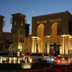
Souk Madinat Jumeirah Dubai (Pictured Story)
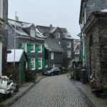
Walking Through Historic Remscheid-Lennep (Pictured Story)

Ottawa ByWard Market (Pictured Story)

Geysir Hot Spring Area (Iceland – Pictured Story)
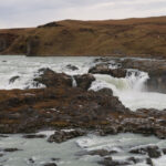
Urridafoss – The Highest Flow Waterfall in Iceland (Pictured Story)

Hverir Geothermal Area (Pictured Story)

Walking the Ulica Florianska in Krakow to Market Square (Pictured Story)

The Bridge Between Europe and North America (Pictured Story)
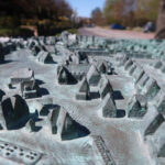
A Walk Through Westerland (Sylt – Pictured Story)

BlueBrixx Megastore (Loop5 Weiterstadt) – The World Largest Brick Bar

Walking around Pilsum Light Tower (Pilsumer Leuchtturm, Pictured Story)

Walking in the London Docklands (Pictured Story)
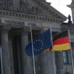
A Walk Through Berlin’s Government District

The Eschede Derailment Memorial
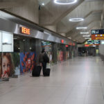
A Walk Through Cologne / Bonn Airport Terminal at Covid-19 Times (Pictured Story)

A Walk Through Zeche Zollverein (Pictured Story – Essen, Germany)
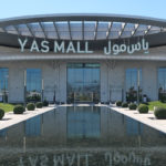
Yas Mall Abu Dhabi
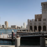
Al Seef – A Historic District at Dubai Creek

Paseo de Canarias & Paseo de Gran Canaria in Firgas (Pictured Story)

Views of London from One New Change (Pictured Story)
Aviation Monuments on Gran Canaria (Pictured Story)

Namco Funscape London (Pictured Story)

The train to Hogwarts? King’s Cross, Platform 9 3/4 (Pictured Story)
Watching Cologne from Europa Rad Ferris Wheel

Elbphilharmonie (Elbe Philharmonic Hall) Hamburg

Hangar 7 (Salzburg, Austria – Pictured Story)
Milan Cathedral (Pictured Story)
Herbertstrasse Hamburg – A Covid-19 Vacuum in the Red Light District
Fujairah Fort (Pictured Story)

St. Helier (Jersey) Markets (Pictured Story)
Cologne/Bonn Airport during Covid-19 Times (Pictured Story)

Clarke Quay (Singpore) by Night (Pictured Story)
Dublin – A Walk along the River Liffey (Pictured Story)

