 by
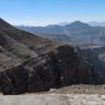
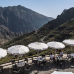
by The recent seismic and volcanic actions on the Reykjanes peninsula really touch me. Dung the last years, Iceland has more and more become one of my favorite travel spots. Nearly any trip to Iceland starts on the peninsula, as the key airport, Keflavik International Airport (KEF), is located there. I already took you to one spot, the bridge between North America and Europe, which cannot be visited at the time of publishing this post. In summer 2021, I had a short road trip around the airport, on the Northwest tip of Raykjanes (this area is currently not impacted). My small Pictured Story is a praise of the beauty of the country.
Reykjanes – The Trip and Transport
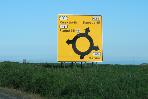
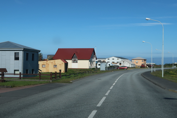
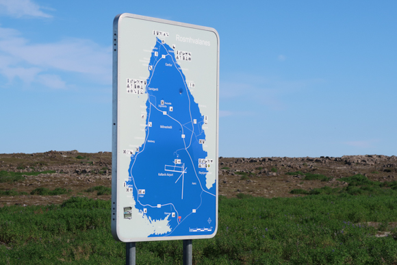
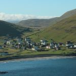
There are typically two reasons, why people visit Reykjanes: Keflavik Airport (KEF) and the Blue Lagoon (which is just a few kilometers away from evacuated city Grindavik). The main city of the area is Reykjanesbaer, which consists of the three parts Keflavik, Hafnir and Njardvik. During this road trip, I passed through two smaller villages, Gardur and Sandgerdi. The area I visited thereafter is not inhibited, until you are close to the airport again. Roughly, I circled around the ground of Keflavik Airport (KEF) in anti-clockwise direction. You can do this trip, including some breaks in 90 minutes to two hours. If you visit a couple of museums, the trip may be longer, of course.
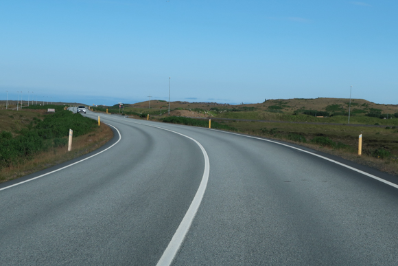
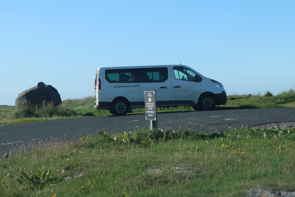
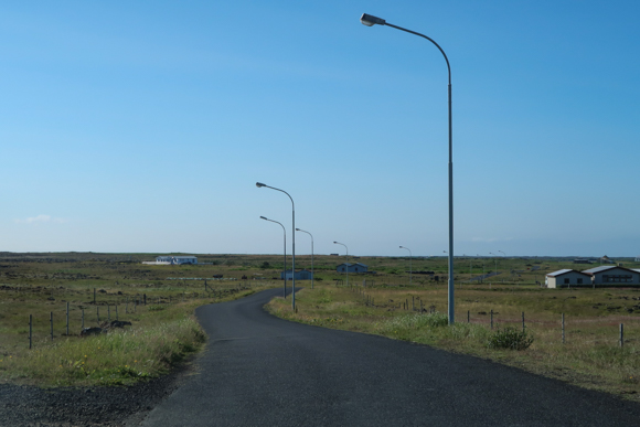
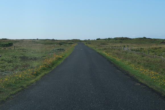
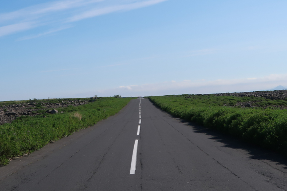
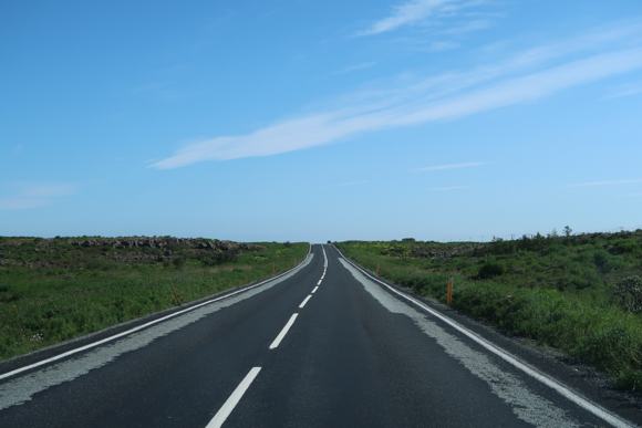
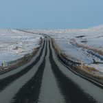
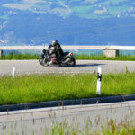
The transport situation to the airport and the surrounding cities is rather good, as it is a key connection for locals and tourists. You might even be doing the trip by bicycle, the road conditions are good and there are no unpaved sections. However, the wind and the quickly changing conditions in Iceland may lead to a bothering experience.
Views from Northwest Reykjanes
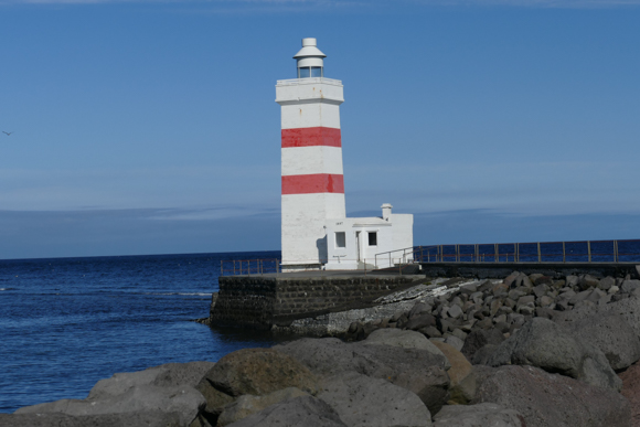
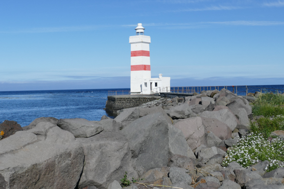
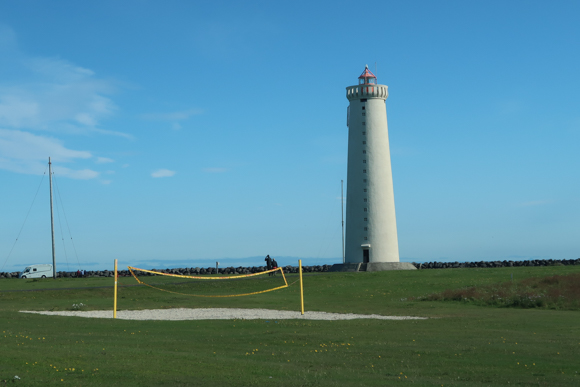
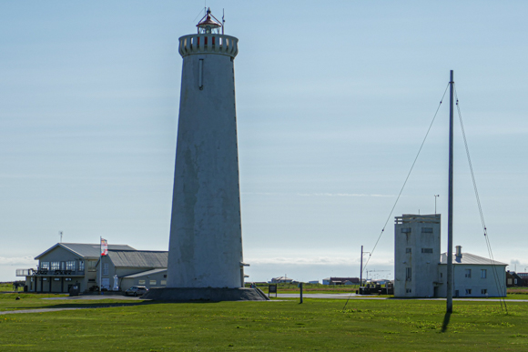
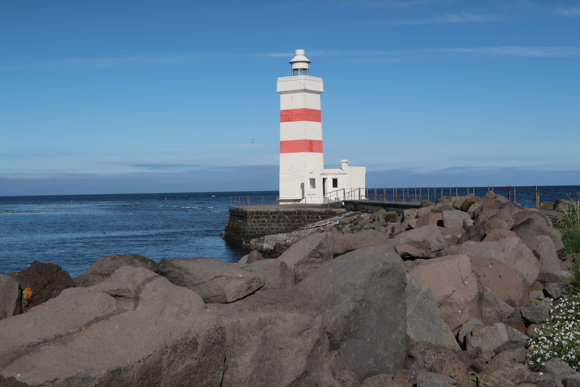
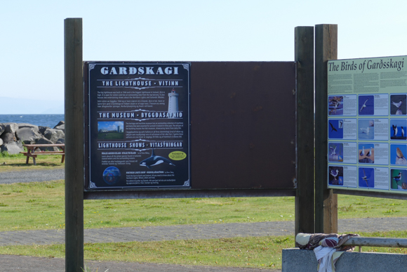
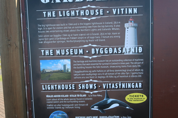
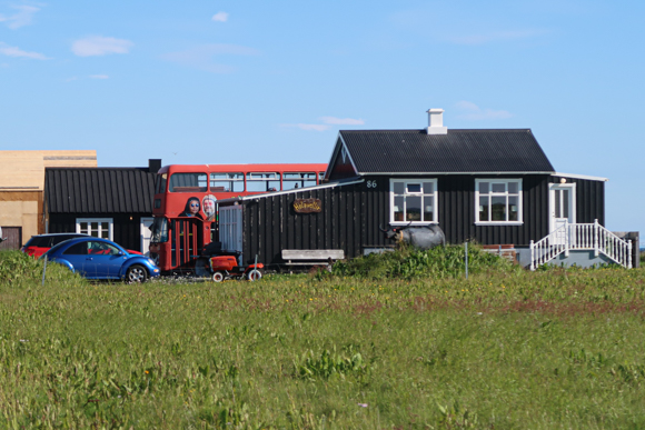
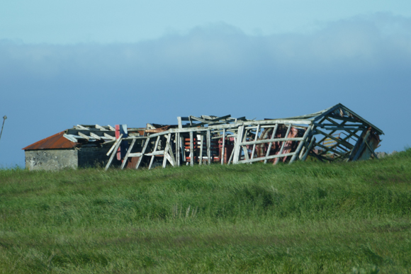
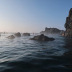
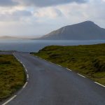
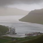
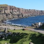
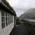
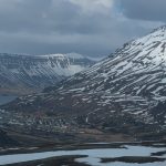
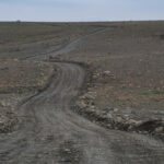
The trip started at the entrance road to the airport. However, I headed to route route 45 Northbound, towards Gardur. The trip is some ten kilometers North of the airport. The 1,500 people town is not too interesting as such and comes with some business, farming and residential buildings. However, if you would keep on riding route 45, you will miss the most beautiful part of the town. A bit of remote, almost outside of Gardur, there is are two beautiful light towers. The smaller (and more historic) one is also the Northwest tip of the peninsula.
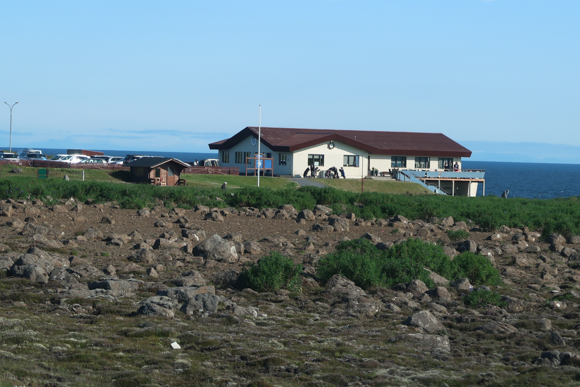
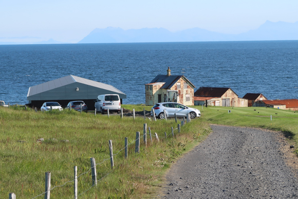
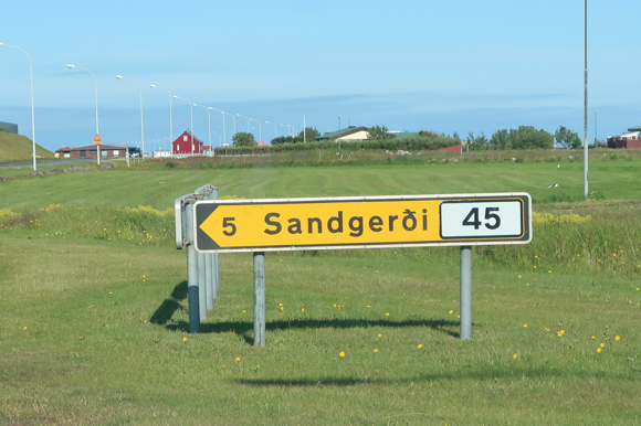
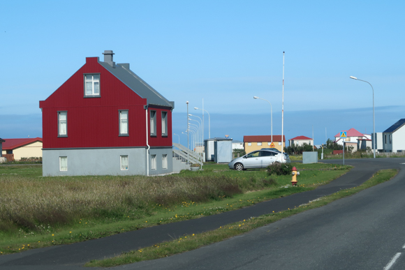
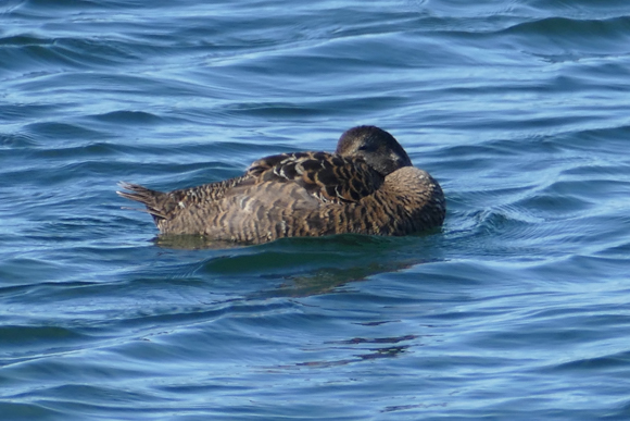

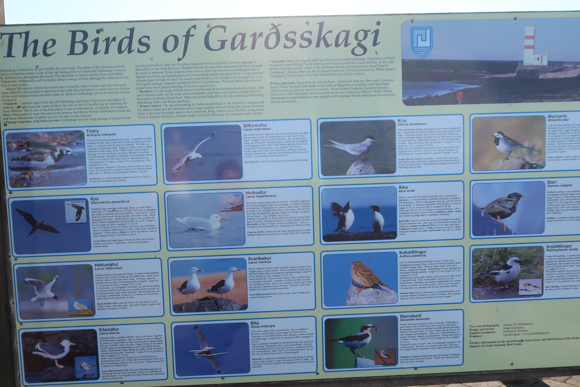
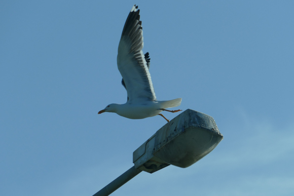
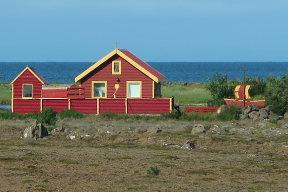
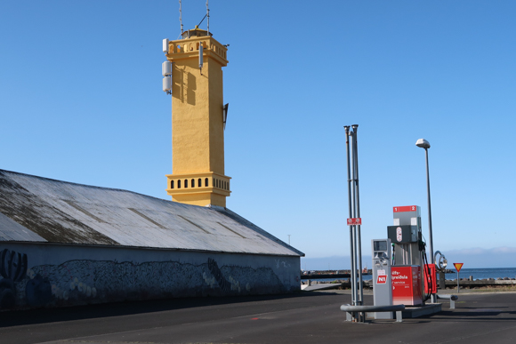
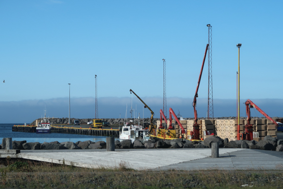
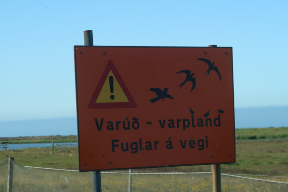
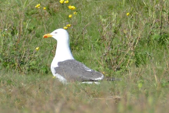
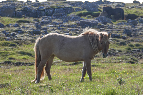
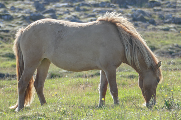
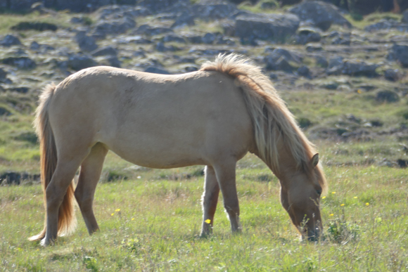
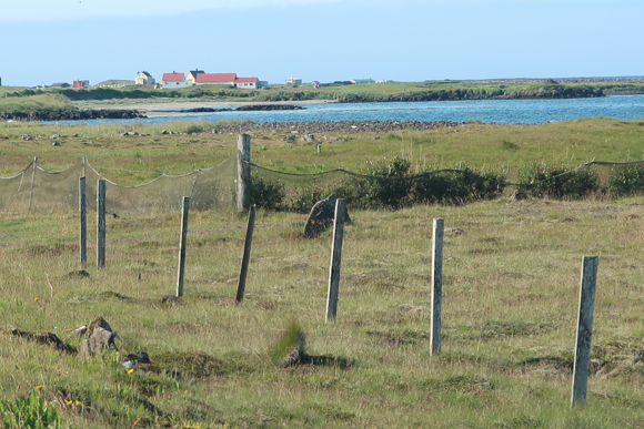
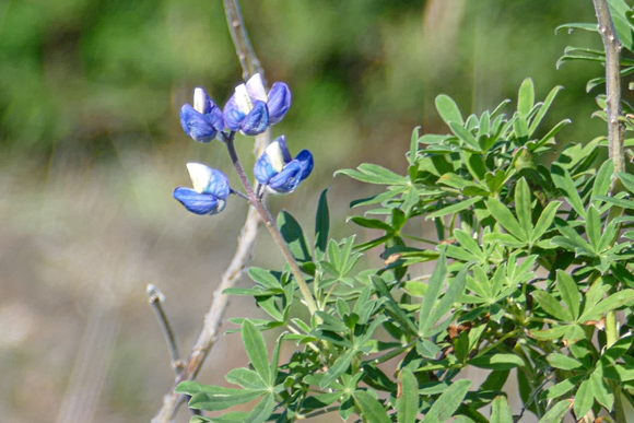
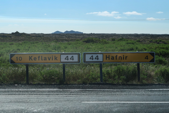
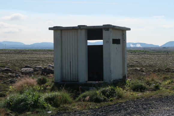
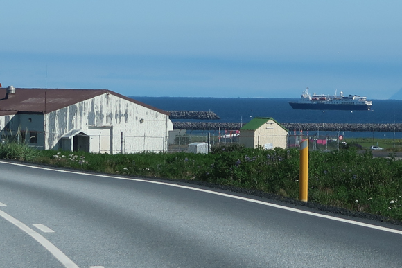
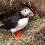
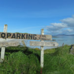
You can follow route 402, which merges back to route 45 to Sandgerdi. Even though the town feels to be larger (just because it is more densely populated), it is not that much bigger than Gardur – some 1,800 people live there. The harbor area with the yellow light tower is picturesque, though, the community is steadily growing as well. After leaving the city, there is no major settlement any more until you are closer to the airport road. Therefor, there are several lovely spots for birding. If you travel the road in the key breeding times, you should definitely be very careful and follow the traffic rules. Here and there, a roadside horse is greeting you as well.
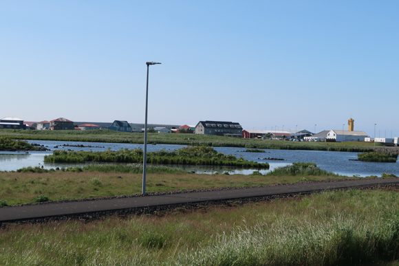
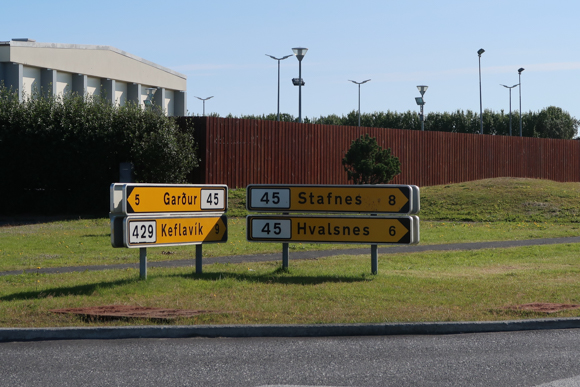

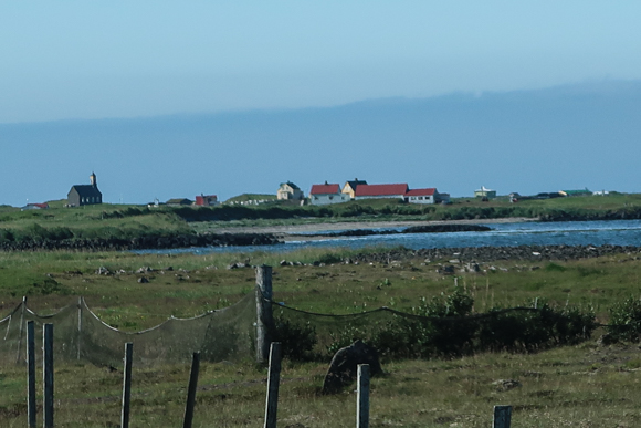
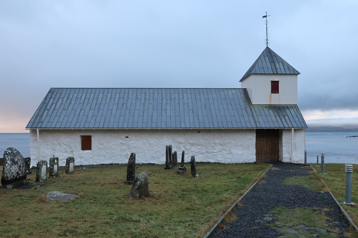
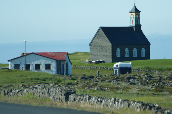
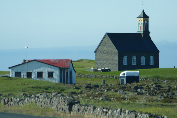
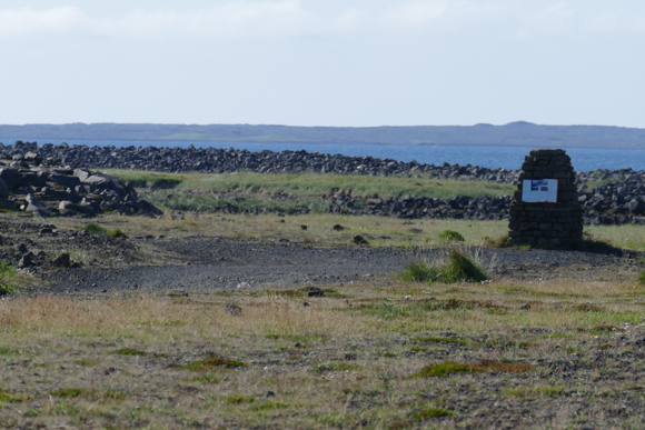
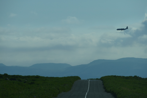
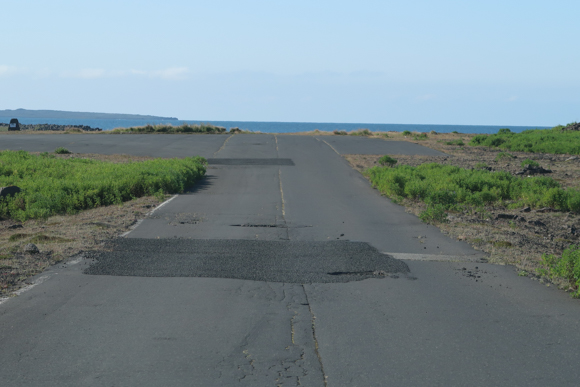
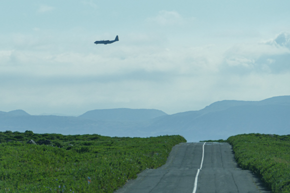
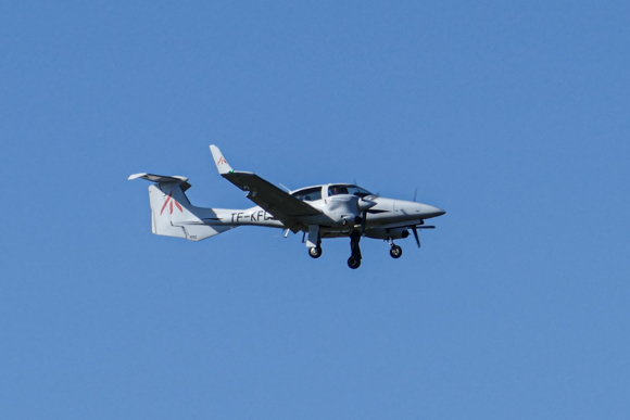
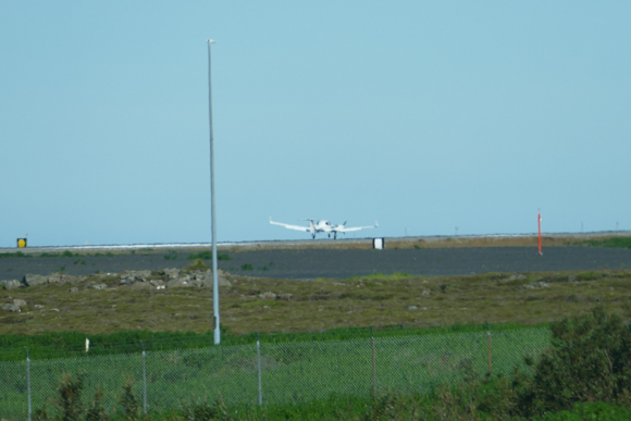
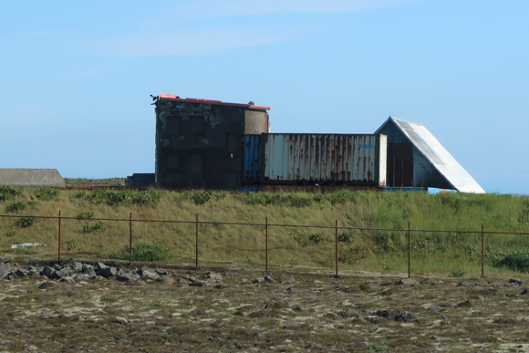
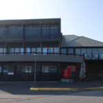
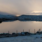
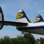
Some 5 to 7 km South, you pass the picturesque Hvalsneskirkja. When you turn left to route 44, you are already getting close to airport grounds. From the road you can see the former barrack foundations which are nowadays called Camp Hopkins Memorial. Some of the routes allow you to get closer to the airport. As you are rather close to one of the runways, you might even have a bit of plane spotting. The area on the Southeast end of the airport area has been modernized during the last years. There are some hotels, airport parking and even rental car companies in that area.


Postings about Reykjanes
Here are postings related to the Reykjanes peninsula in Southwest Iceland:

Airport Hotel Aurora Star Keflavik

Traveling on Iceland’s Ring Road (Day 8 – 6th May 2023) – Day in Reykjavik & More
Traveling on Iceland’s Ring Road (Day 1 – 29th April 2023) – Germany to Hella
Traveling on Iceland’s Ring Road (Preview)

Viking World (Nardvik, Iceland)
Keflavik Airport (KEF)

Rokksafn – The Icelandic Rock’n’Roll Museum (Reykjanesbaer)

Airport Hotel Grasteinn (Keflavik)
Flyctory.com Best Ones 2021

Car Rental Review – Blue Car Keflavik Airport (KEF) – Dacia Duster 4WD
Hotel Duus (Keflavik)

Car Rental Review – Procar Keflavik Airport (KEF) – Dacia Duster 4WD

Car Rental Review – Geysir Keflavik Airport (KEF) – Dacia Duster 4WD

The Bridge Between Europe and North America (Pictured Story)

Saga Lounge Kefklavik (KEF)
Postings about Road Trips
Here are all road trips on Flyctory.com
A Trip To Nordradalur (Faroe Islands, Pictured Story)
Red Rock Canyon Scenic Drive
Gasadalur and the Mulafossur Waterfall (Pictured Story)
Driving the Oyggjarvegur (Route 50) on the Faroe Islands

Driving over the Coll d’Ordino (Andorra CS-240/-340)

Six US States And Nashville (Day 10 – 8th June 2025) – Back in Evansville

Six US States And Nashville (Day 9 – 7th June 2025) – The Colonel and Baseball

Six US States And Nashville (Day 8 – 6th June 2025) – A Day In The Smokies

Six US States And Nashville (Day 7 – 5th June 2025) – Riding With Dolly
Six US States And Nashville (Day 6 – 4th June 2025) – Rockets and Veterans

Six US States And Nashville (Day 5 – 3rd June 2025) – A Daytrip To Charlotte

Six US States And Nashville (Day 4 – 2nd June 2025) – Sweet Home (?), Alabama

Six US States And Nashville (Day 3 – 1st June 2025) – Sunday in Nashville

Six US States And Nashville (Day 2 – 31st May 2025) – Back To Music City

Six US States And Nashville (Day 1 – 30th May 2025) – My First Flight To Indiana
Six US States And Nashville – A Preview
Driving on the Runt Agnið (Faroe Islands)
Exploring the West Coast of Sandoy from Sandur (Faroe Islands)
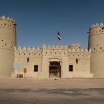
Traveling along the Liwa Forts Oasis Route (U.A.E.)
Views of Sandoy Island (Faroe Islands)
Crossing the Atlantic Ocean in the Sandoyartunnilin (Sandoy Tunnel)

Eysturoyartunnilin – The First Sub-Sea Roundabout in the World
A Trip To Saksun (Faroe Islands, Pictured Story)
Traveling on Iceland’s Ring Road (Reprise)
Traveling on Iceland’s Ring Road (Day 8 – 6th May 2023) – Day in Reykjavik & More
Traveling on Iceland’s Ring Road (Day 7 – 5th May 2023) – Reykholt to Reykjavik
Traveling on Iceland’s Ring Road (Day 6 – 4th May 2023) – Akureyri to Reykholt

Traveling on Iceland’s Ring Road (Day 5 – 3rd May 2023) – Husavik to Akureyri
Traveling on Iceland’s Ring Road (Day 4 – 2nd May 2023) – Egilsstadir to Husavik
Traveling on Iceland’s Ring Road (Day 3 – 1st May 2023) – Hrafnavellir to Egilsstadir

Traveling on Iceland’s Ring Road (Day 2 – 30th April 2023) – Hella to Hrafnavellir
Traveling on Iceland’s Ring Road (Day 1 – 29th April 2023) – Germany to Hella
Traveling on Iceland’s Ring Road (Preview)
Icelands South Coast at Routes 33 and 34 (Road Trip)
A (Partial) Trip along F899 (Flateyjardalsvegur – Pictured Story)
Driving Up Jebel Jais Mountain

Following The Pittsburgh Penguins in March 2022 (Day 7, 16th March 2022)
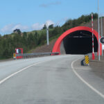
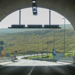
Vadlaheidargong Toll Tunnel and Alternatives
The F35 Kjölur-Route in Iceland
Flyctory.com Best Ones 2021

Iceland Road F347 (Kerlingarfjallavegur) and Hveradalir
Rossfeld Panoramic Route
Tenerife – TF-436 Route and Teno Alto

Punta Del Teno Lighthouse and TF-445 Road (Tenerife)
Exploring Barra With Barra Island Tours
Weird Al & Grass Court Tennis 2019 (Day 5/6 – 21st/22nd July 2019)

Weird Al & Grass Court Tennis 2019 (Day 4 – 20th July 2019)

Weird Al & Grass Court Tennis 2019 (Day 3 – 19th July 2019)

Weird Al & Grass Court Tennis 2019 (Day 2 – 18th July 2019)

Weird Al & Grass Court Tennis 2019 (Day 1 – 17th July 2019)

A Musical Trip to CMA Fest 2019 (Day 6 – 5th June 2019)
A Musical Trip to CMA Fest 2019 (Day 5 – 4th June 2019)

A Musical Trip to CMA Fest 2019 (Day 4 – 3rd June 2019)
A Musical Trip to CMA Fest 2019 (Day 3 – 2nd June 2019)
A Musical Trip to CMA Fest 2019 (Day 2 – 1st June 2019)
A Musical Trip to CMA Fest 2019 (Day 1 – 31st May 2019)

Trip Report: On Tour with Weird Al Yankovic (Day 5&6)

Trip Report: On Tour with Weird Al Yankovic (Day 4)

Trip Report: On Tour with Weird Al Yankovic (Day 3)
Trip Report: On Tour with Weird Al Yankovic (Day 2)

Trip Report: On Tour with Weird Al Yankovic (Day 1)