 by
by When you think about the island of Eysturoy on the Faroe Islands, you like first think about key cities like Lervik or Runavik or the touristic spots in the North like Gjögv or Fulgafjordur. My trips so far have excluded the Southwest peninsula as of the islands as well. In August 2026, however, I took a short road trip along the West coast of the Skalafjordur fjord and then headed North along the Tangafjordur. Here is my Pictured Story along the routes 15 and 65 on the Nordic territory.
Faroe Islands Route 15, 65 (and 80) – Road Trip Overview
The trip started and ended at the route 13 and 15 junction, at the city of Skalafjordur at the North tip of the Skalafjordur fjord. Including a detour along route 80 (see below), the one-way distance to Selatrad at the West side of the peninsula is roughly 25km. The outbound trip took me roughly an hour, including some stops, while I took a rather direct, some 30 minute drive back on the same route. The route is (almost) entirely paved and can be driven with any kind of car. Especially on the way back, you might also use the Eysturoyartunnilin and connect to Runavik or Torshavn directly.
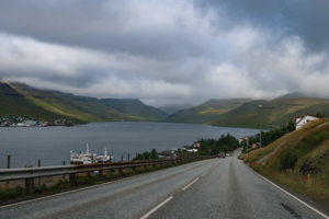
Driving from Skalafjordur to Selatrad
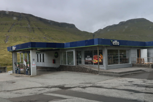
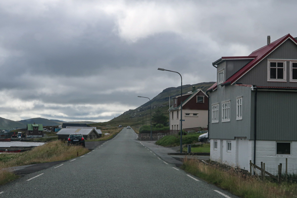
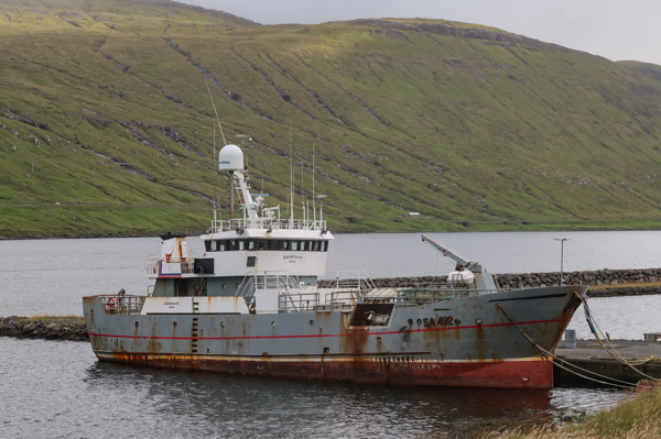
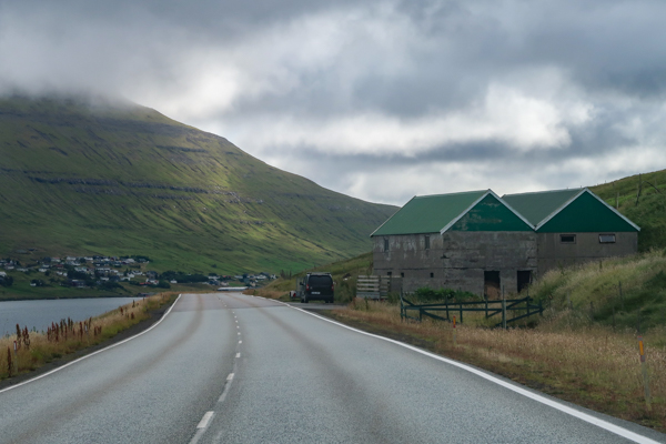
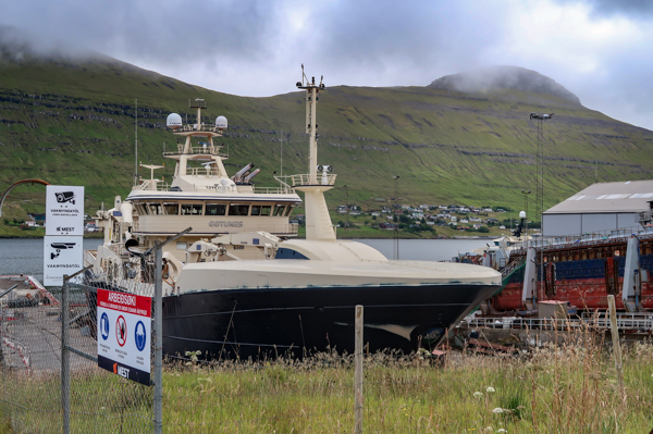
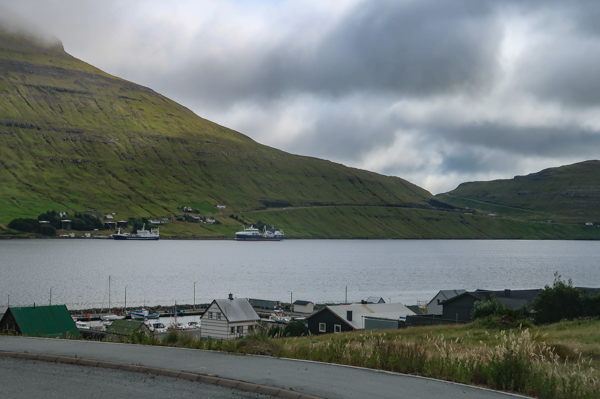
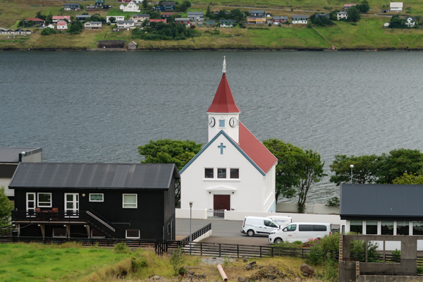
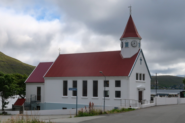
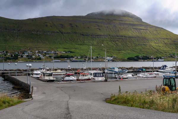
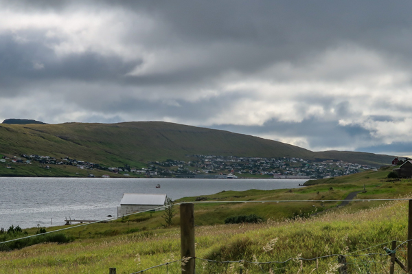
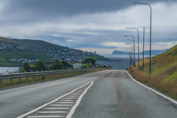
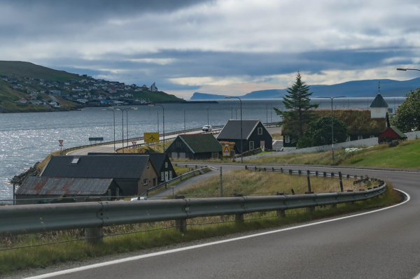
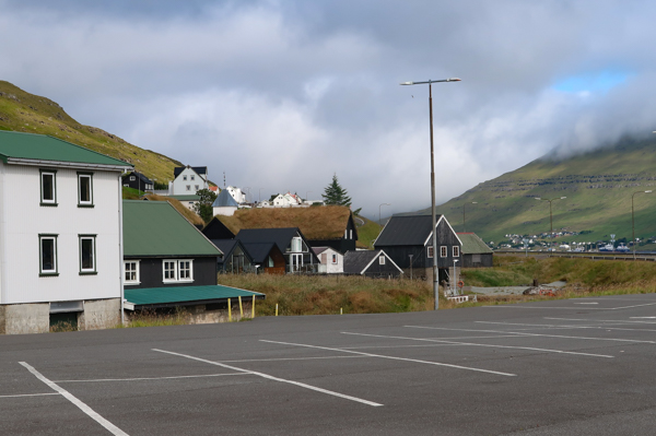
As said, my road trip started at its Northernmost point, at the route 13 and 15 junction. There is a gas station, which is also featuring fine food services at that location. Right when you enter route 15, you have a lovely view of the Skalafjordur fjord from its North tip, before hitting the village with the same name. The most striking building is right at the entrance to the village. It looks like a conference center or hotel, but is in fact a modern, major church. Overall, Skalafjordur is a nice village with some interesting views of ships in the harbor, but rather less spectacular.
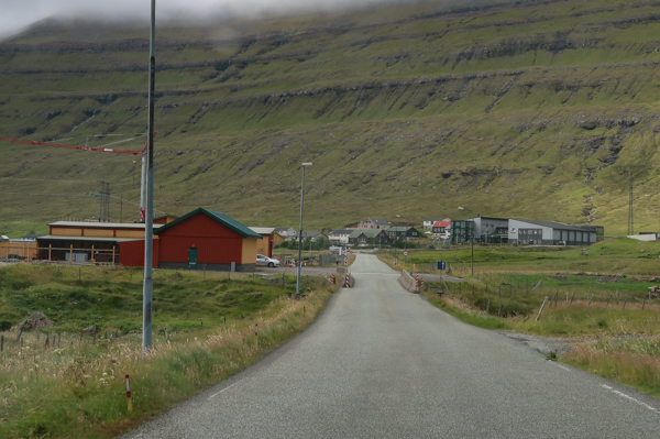

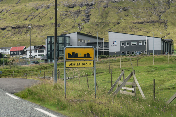
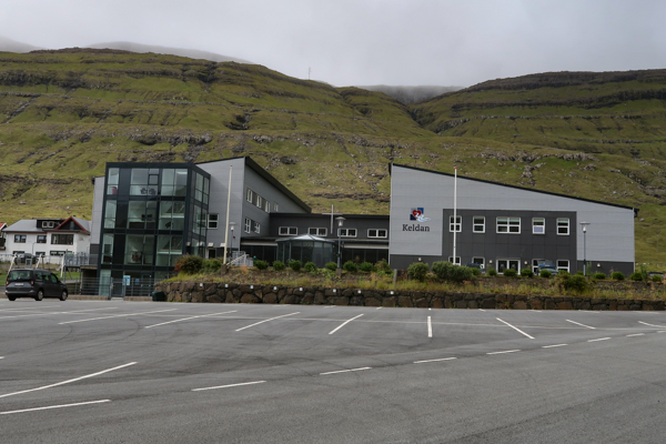
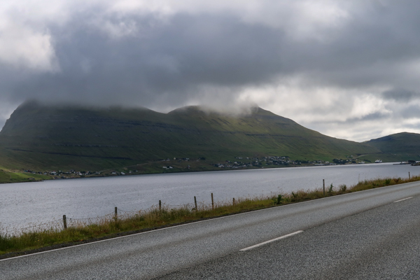
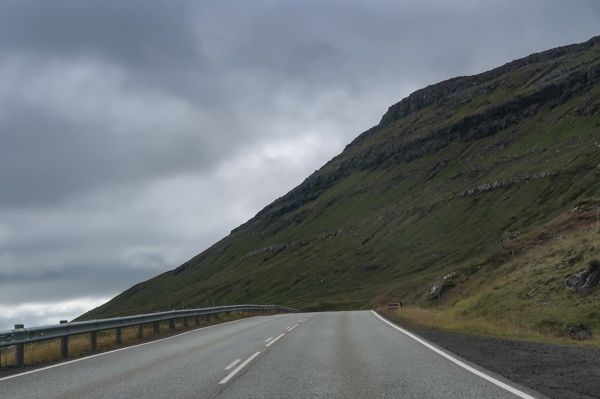
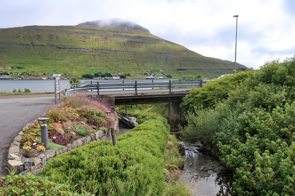
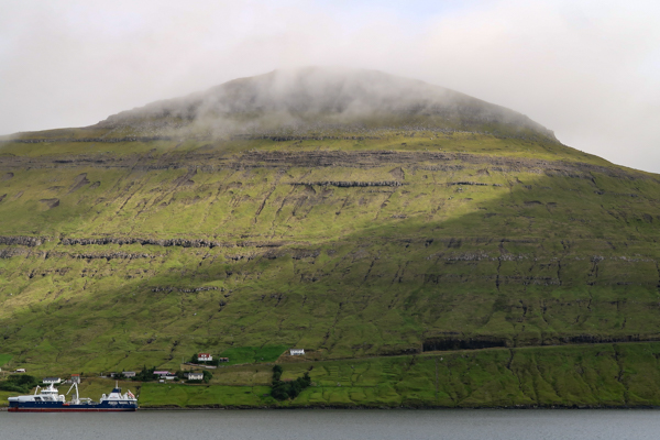
The following kilometers run along the coast of the fjord. There are some minor villages on the opposite side of it.
Skala
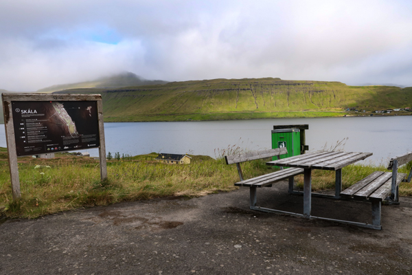
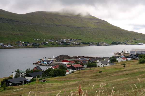
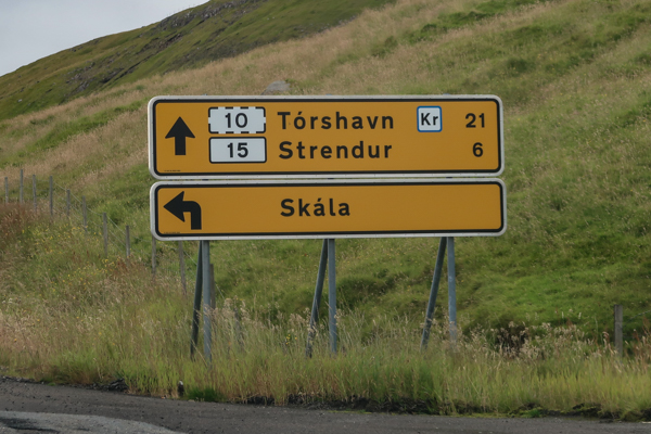
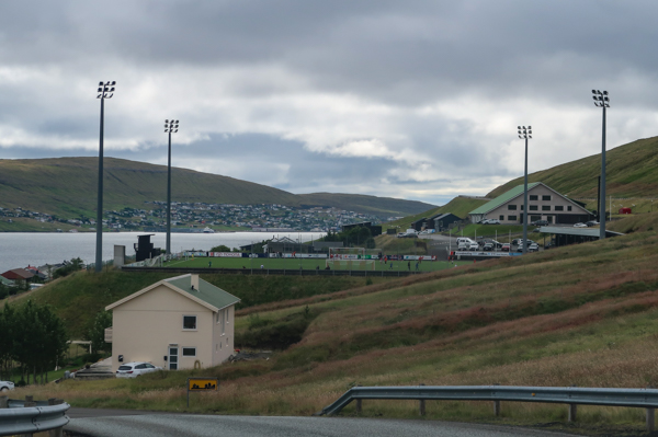
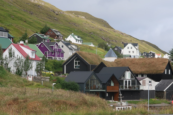
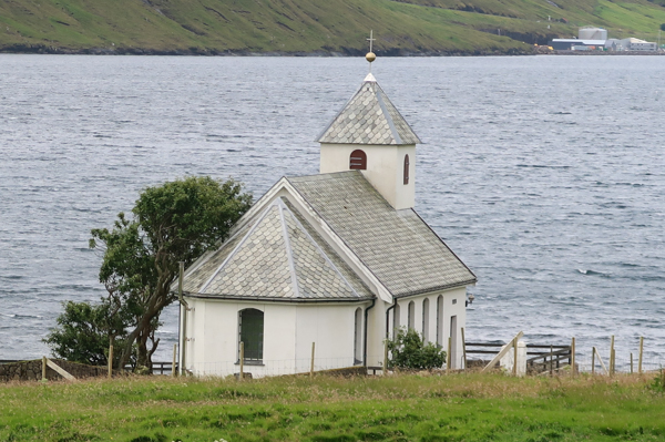
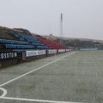
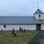
One of the key villages of the trip is Skala. You have the choice of two routes here. The faster option is route 15, which leaves the coast and runs above the city. I definitely recommend taking a left turn into the city and following route 80 through the city, which starts at the picturesque ground of soccer club Skala IF. Another highlight is the picturesque Skala Church.
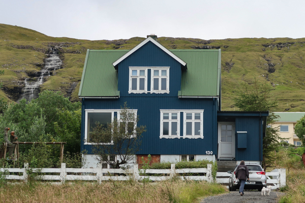
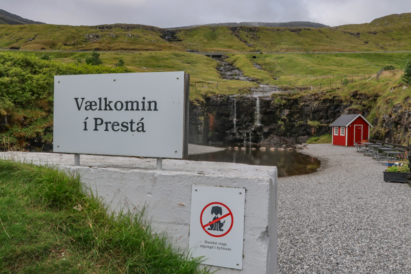
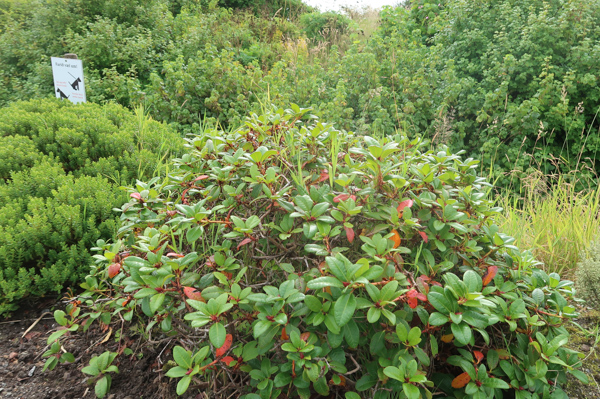
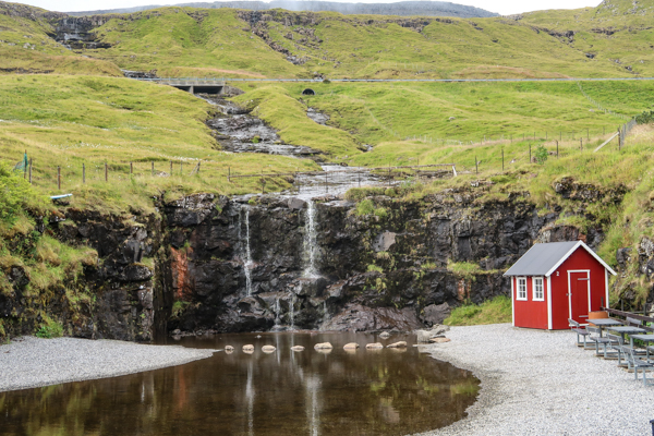
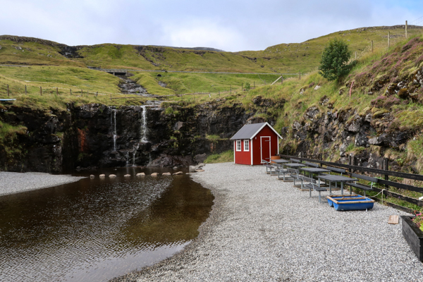
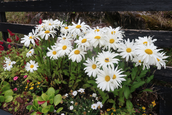
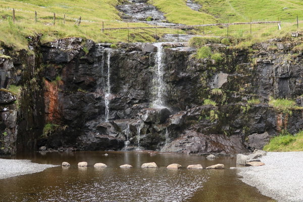
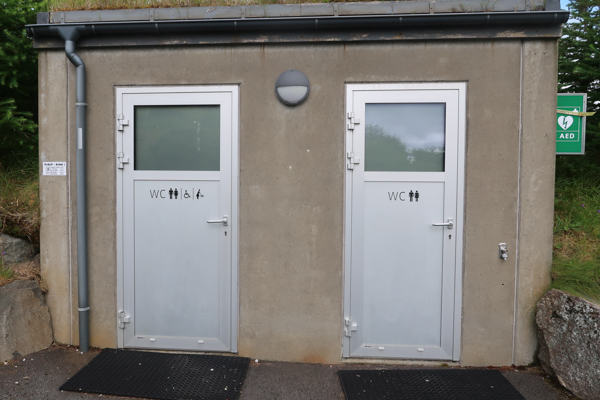
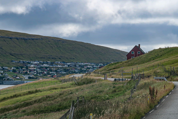
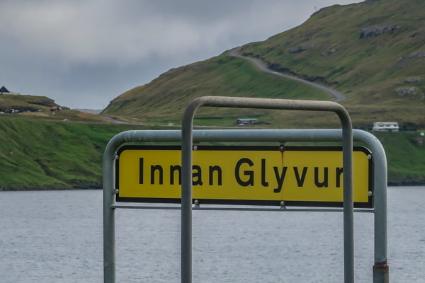
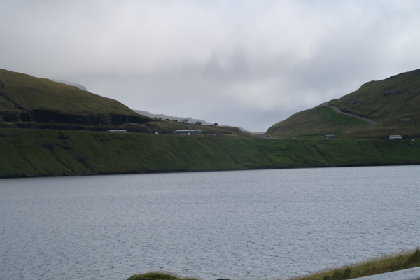
A sign on the right hand side tells you “Welcome to Presta” – and you should definitely have a stop at this small park at a waterfall. I absolutely loved hanging out there and enjoy the flowers as well as the lovely little lake. A nice additional feature is the public toilet at that location – a service which is very widespread all over the Faroe Islands. The place is marked as a playground on Google Maps, by the way. After passing the village of Innan Glyvur, you head back to route 15.

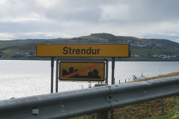
Strendur
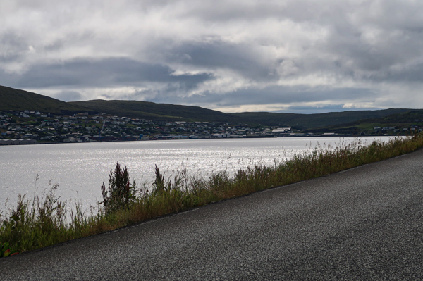
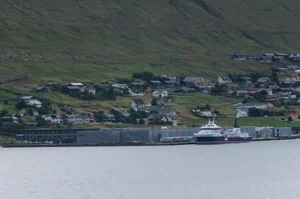
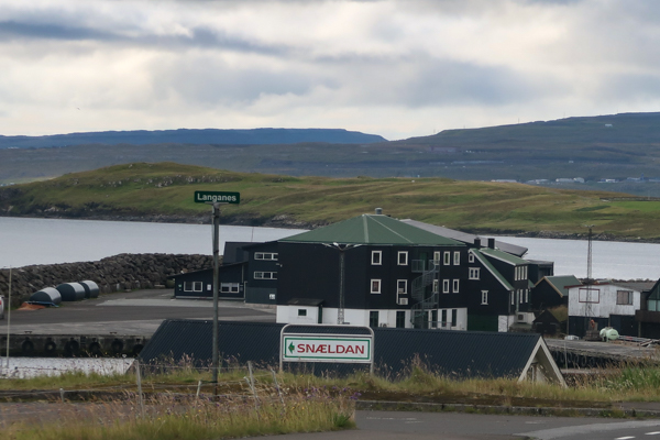
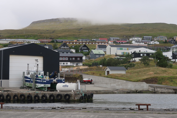
Even though it just has some 1,000 inhabitants, Strendur is quite vibrant. It comes with a major harbor and is spread along the main road. A key reason for its development is that there is one of the East exits of the Eysturoyartunnilin subsea tunnel. Strendur has a very interesting harbor as well. However, there are also lovely views of other ends of the Eysturoy island, including East side of the fjord. I loved the views of Runavik and Töftir. You also have a nice view of Svangaskard, the former national soccer stadium of the islands.



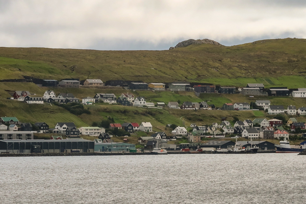
Route 65
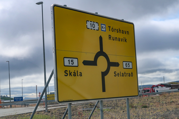
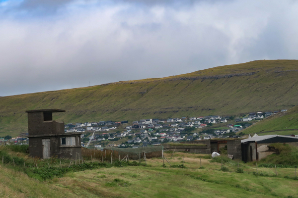
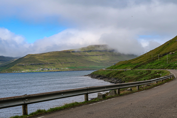
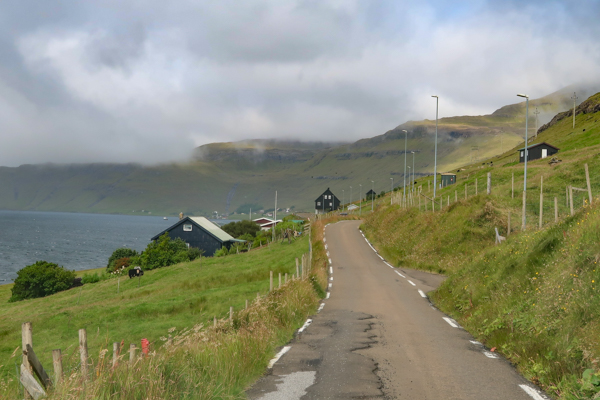
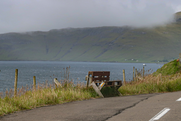
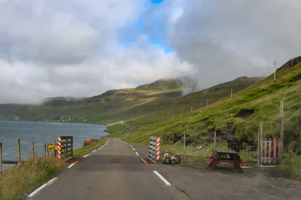
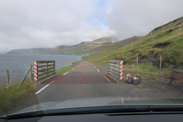
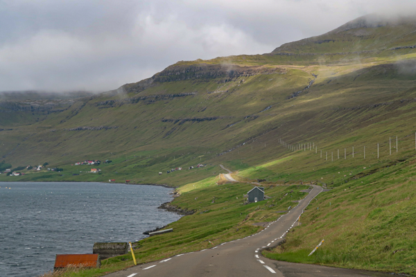
The roundabout to the subsea tunnel is also the beginning of route 65. After passing Strendur, there are some one-lane items with passing boxes (please don’t use them for parking). with the scenery becoming significantly more rural, there are also some amazing views of other ends of Eysturoy and the North tip of Nordoy. In this area, you can also do a stop having a walk to the Raktangi peninsula and its memorial (which I skipped due to health reasons).
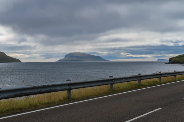
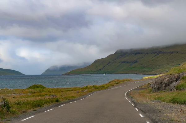
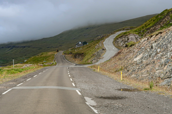
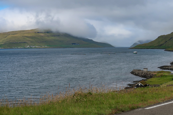
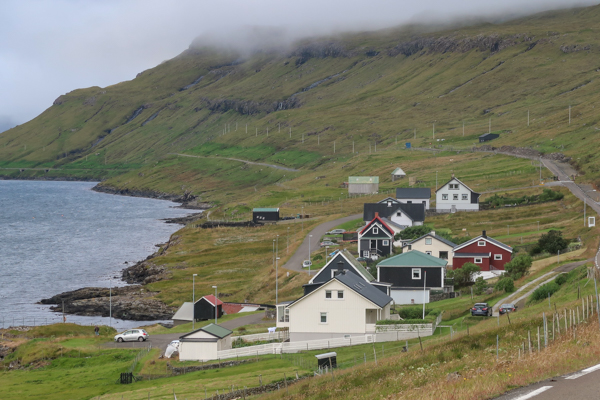
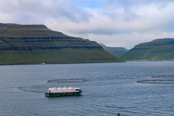

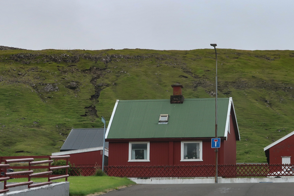
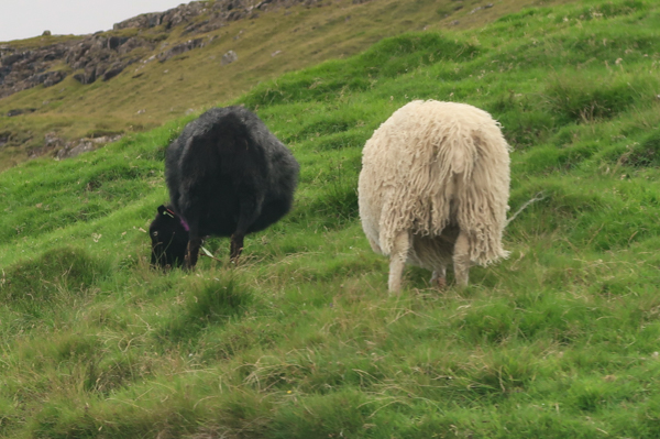
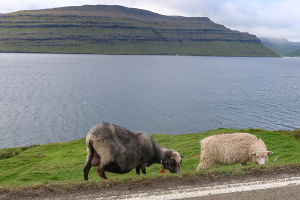
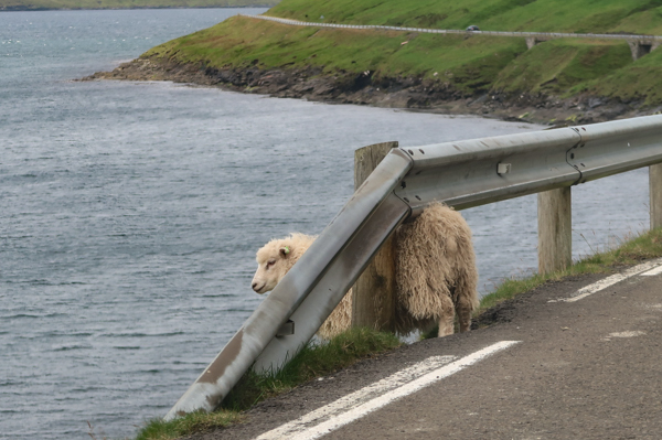
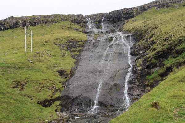
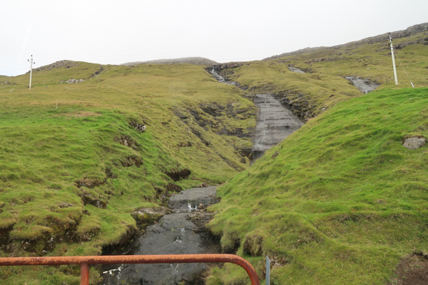
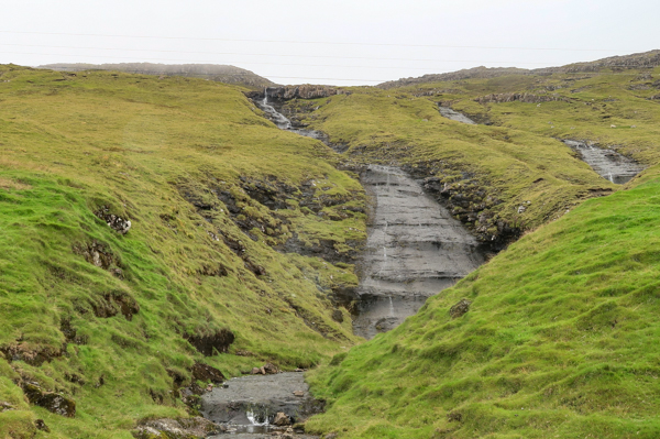
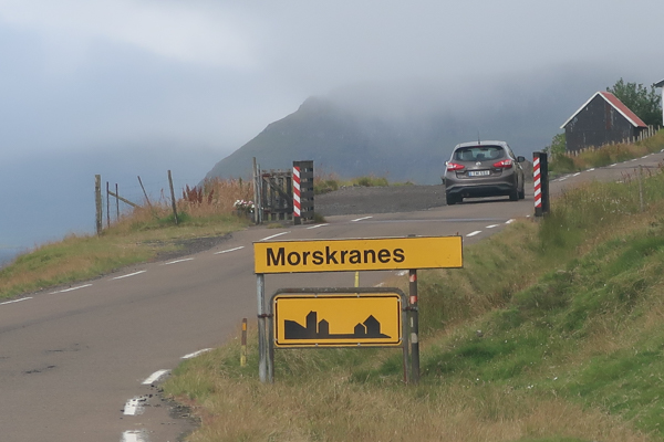
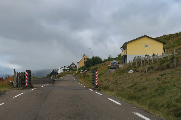
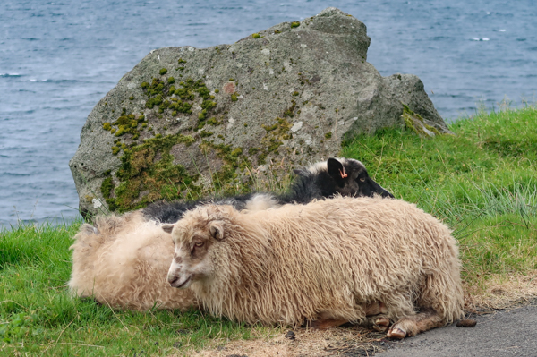
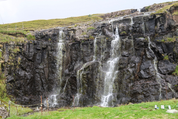
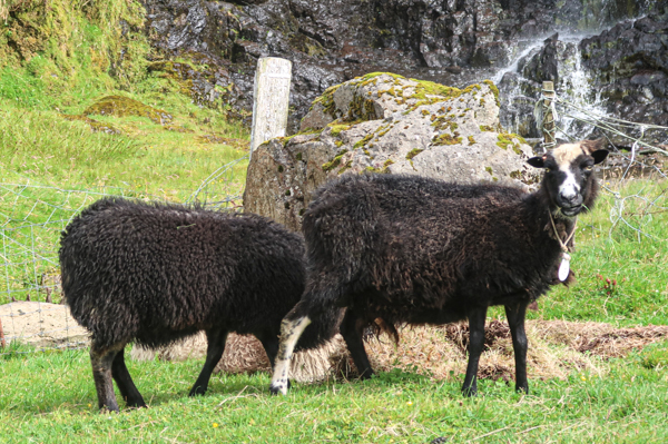
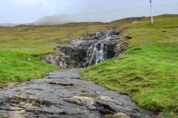
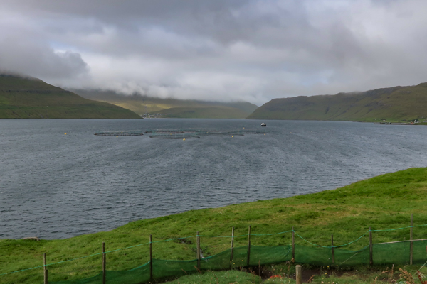
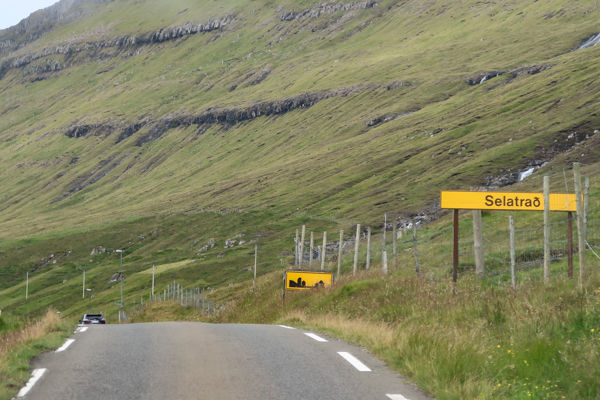
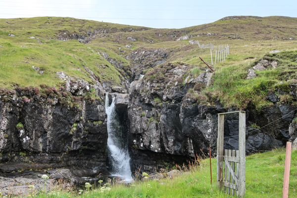
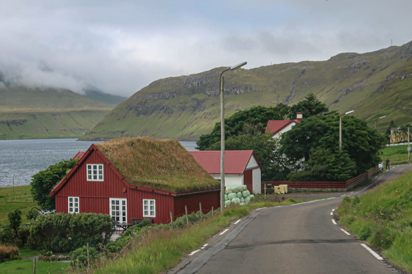
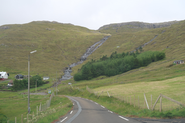
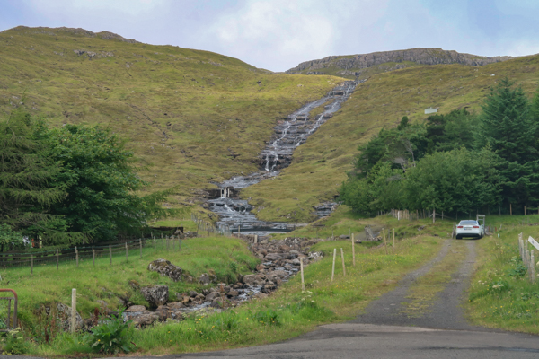
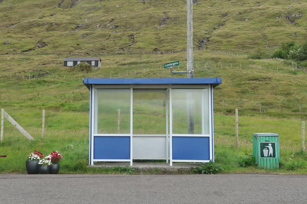
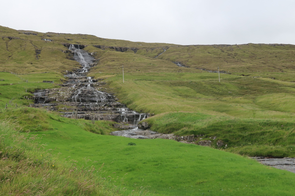
With the stronger countryside touch, you also run more frequently into sheep along – and on – the road. The Atlantic ocean hosts some fishing farms as well. There are three villages along the route, Kolbeinagjogv, Morskranes, and finally Selatrad. The latter is also the dead end of route 65. You may go on with a bike, though, to complete the whole circle. I rather enjoyed the beautiful natural scenery and especially the waterfalls.




Return Trip
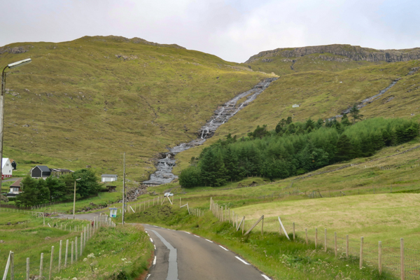
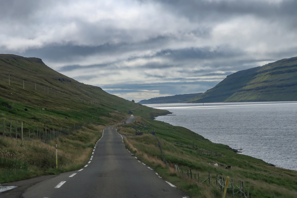
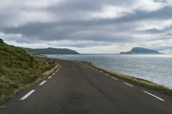
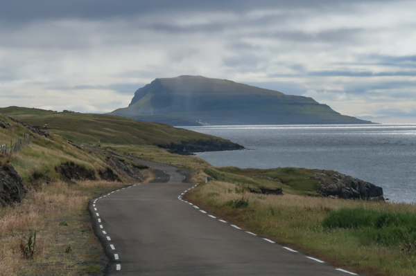
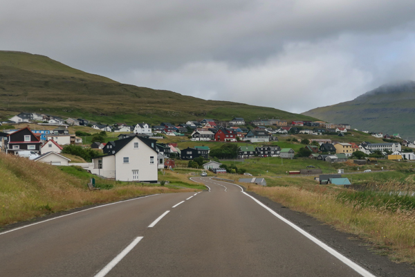
As you travel back the same route, I did not do too many stops on the return of this trip. However, you have some really nice views on the return as well. I shared a few of them below.
Travel (Faroe Islands)
Here are all my travel posts related to the Faroe Islands:
Hotel Runavik

Food I Had Onboard XXXII (July – August 2026)
Hotel Djurhuus (Torshavn)

Food I Had Onboard XXXI (April to June 2026)
A Trip To Nordradalur (Faroe Islands, Pictured Story)

Visiting the Muli Ghost Town (Faroe Islands)

Flyctory.com Best Ones 2025
Waterfalls on the Faroe Islands (Pictured Story)
Gasadalur and the Mulafossur Waterfall (Pictured Story)

Food I Had Onboard XXVI (September / October 2025)
Scheduled Helicopter Rides with Atlantic Airways (Faroe Islands)
Driving the Oyggjarvegur (Route 50) on the Faroe Islands

Saga Museum Vestmanna
Classic Boat Tour with Sjoferdir / Puffin.fo from Vestmanna
A Trip To Gjogv (Faroe Islands, Pictured Story)
Driving on the Runt Agnið (Faroe Islands)
Torshavn Cathedral (Pictured Story)

Food I Had Onboard XXII (February 2025 – March 2025)
Faroe Islands National Museum
Exploring the West Coast of Sandoy from Sandur (Faroe Islands)
Nordic Inn (Torshavn)

Flyctory.com Best Ones 2024
Skansin (Torshavn)

Molin Guesthouse (Skalavik)
Views of Sandoy Island (Faroe Islands)
Crossing the Atlantic Ocean in the Sandoyartunnilin (Sandoy Tunnel)
Food I Had Onboard XVIII (end July to mid September 2024)
Faroe Islands Open Air Museum (Hoyviksgardur)
Torshavn – Old Town and Tinganes (Pictured Story)
Faroese National Botanical Garden (Pictured Story)

Car Rental Review – Arctic Rental Cars Faroe Islands Airport (FAE) – Kia x-Ceed

My 15 Favorite Hotels I Have Stayed in… So Far
Svangaskard – The Traditional National Stadium of the Faroe Islands

Flying Atlantic Airways Airbus A320
A Visit To Kirkjubour (Faroe Islands – Pictured Story)
Food I Had Onboard XIII (End November 2023 – early January 2024)

Eysturoyartunnilin – The First Sub-Sea Roundabout in the World

KI Klaksvik – UEFA Conference League at Torsvollur (Torshavn)
A Trip To Saksun (Faroe Islands, Pictured Story)

Faroe Islands Aquarium (Torshavn)

Car Rental Review – RentYourCar.Fo at Vagar Airport (FAE) – Hyundai i20
Vagar Faroe Islands Airport (FAE)
Hilton Garden Inn Faroe Islands

Food I Had Onboard X (July 2023 til early September 2023)

Klaksvik and Djupumyra Stadium (Pictured Story)
Postings about Road Trips
Here are all road trips on Flyctory.com

The Last Bigger & Weirder Dance: Going back to Wisconsin – Green Bay (Ep. 4)

The Last Bigger & Weirder Dance: Heading East to Indiana – the Fort Wayne show (Ep. 3)

The Last Bigger & Weirder Dance: Heading South – the Peoria Show (Ep. 2)
The Last Bigger & Weirder Dance: from Rheinland to Rhinelander (Ep. 1)

The Last Bigger & Weirder Dance: Introduction (Trip Report)
A Trip To Nordradalur (Faroe Islands, Pictured Story)
Red Rock Canyon Scenic Drive
Gasadalur and the Mulafossur Waterfall (Pictured Story)
Driving the Oyggjarvegur (Route 50) on the Faroe Islands

Driving over the Coll d’Ordino (Andorra CS-240/-340)

Six US States And Nashville (Day 10 – 8th June 2025) – Back in Evansville

Six US States And Nashville (Day 9 – 7th June 2025) – The Colonel and Baseball
Six US States And Nashville (Day 8 – 6th June 2025) – A Day In The Smokies

Six US States And Nashville (Day 7 – 5th June 2025) – Riding With Dolly
Six US States And Nashville (Day 6 – 4th June 2025) – Rockets and Veterans

Six US States And Nashville (Day 5 – 3rd June 2025) – A Daytrip To Charlotte
Six US States And Nashville (Day 4 – 2nd June 2025) – Sweet Home (?), Alabama

Six US States And Nashville (Day 3 – 1st June 2025) – Sunday in Nashville

Six US States And Nashville (Day 2 – 31st May 2025) – Back To Music City

Six US States And Nashville (Day 1 – 30th May 2025) – My First Flight To Indiana

Six US States And Nashville – A Preview
Driving on the Runt Agnið (Faroe Islands)
Exploring the West Coast of Sandoy from Sandur (Faroe Islands)
Traveling along the Liwa Forts Oasis Route (U.A.E.)
Views of Sandoy Island (Faroe Islands)
Crossing the Atlantic Ocean in the Sandoyartunnilin (Sandoy Tunnel)
Eysturoyartunnilin – The First Sub-Sea Roundabout in the World
A Trip To Saksun (Faroe Islands, Pictured Story)
A Short Roadtrip along Northwest Reykjanes
Traveling on Iceland’s Ring Road (Reprise)

Traveling on Iceland’s Ring Road (Day 8 – 6th May 2023) – Day in Reykjavik & More

Traveling on Iceland’s Ring Road (Day 7 – 5th May 2023) – Reykholt to Reykjavik
Traveling on Iceland’s Ring Road (Day 6 – 4th May 2023) – Akureyri to Reykholt

Traveling on Iceland’s Ring Road (Day 5 – 3rd May 2023) – Husavik to Akureyri
Traveling on Iceland’s Ring Road (Day 4 – 2nd May 2023) – Egilsstadir to Husavik
Traveling on Iceland’s Ring Road (Day 3 – 1st May 2023) – Hrafnavellir to Egilsstadir

Traveling on Iceland’s Ring Road (Day 2 – 30th April 2023) – Hella to Hrafnavellir
Traveling on Iceland’s Ring Road (Day 1 – 29th April 2023) – Germany to Hella
Traveling on Iceland’s Ring Road (Preview)
Icelands South Coast at Routes 33 and 34 (Road Trip)
A (Partial) Trip along F899 (Flateyjardalsvegur – Pictured Story)
Driving Up Jebel Jais Mountain

Following The Pittsburgh Penguins in March 2022 (Day 7, 16th March 2022)
Vadlaheidargong Toll Tunnel and Alternatives
The F35 Kjölur-Route in Iceland
Flyctory.com Best Ones 2021
Iceland Road F347 (Kerlingarfjallavegur) and Hveradalir
Rossfeld Panoramic Route
Tenerife – TF-436 Route and Teno Alto

Punta Del Teno Lighthouse and TF-445 Road (Tenerife)
Exploring Barra With Barra Island Tours
Weird Al & Grass Court Tennis 2019 (Day 5/6 – 21st/22nd July 2019)

Weird Al & Grass Court Tennis 2019 (Day 4 – 20th July 2019)

Weird Al & Grass Court Tennis 2019 (Day 3 – 19th July 2019)

Weird Al & Grass Court Tennis 2019 (Day 2 – 18th July 2019)

Weird Al & Grass Court Tennis 2019 (Day 1 – 17th July 2019)

A Musical Trip to CMA Fest 2019 (Day 6 – 5th June 2019)
A Musical Trip to CMA Fest 2019 (Day 5 – 4th June 2019)

A Musical Trip to CMA Fest 2019 (Day 4 – 3rd June 2019)
A Musical Trip to CMA Fest 2019 (Day 3 – 2nd June 2019)

A Musical Trip to CMA Fest 2019 (Day 2 – 1st June 2019)
A Musical Trip to CMA Fest 2019 (Day 1 – 31st May 2019)

Trip Report: On Tour with Weird Al Yankovic (Day 5&6)

Trip Report: On Tour with Weird Al Yankovic (Day 4)

Trip Report: On Tour with Weird Al Yankovic (Day 3)
Trip Report: On Tour with Weird Al Yankovic (Day 2)

Trip Report: On Tour with Weird Al Yankovic (Day 1)